Drones or unmanned aerial vehicles (UAVs) have become increasingly popular in a wide range of fields, from photography to package delivery. One area where drones are proving to be immensely valuable is in geological surveys. The ability to access difficult terrain quickly and accurately has revolutionized the way geologists gather data. Consumer drones, in particular, have played an important role in this transformation.
When it comes to geological surveys, a consumer drone offers several advantages over traditional methods. These compact and lightweight UAVs can easily navigate challenging landscapes and provide detailed visual data with minimal effort. Let’s explore how consumer drones are changing the game:
1. Efficient Data Collection: Traditional geological surveys often involve laborious ground-based fieldwork, which can be time-consuming and physically demanding. With a consumer drone, geologists can cover large areas in a fraction of the time, reducing the need for extensive groundwork and allowing for more accurate and comprehensive data collection.
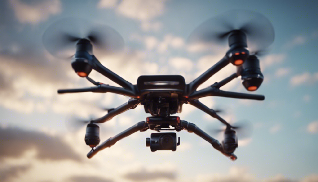
2. High-resolution Imaging: Consumer drones equipped with high-quality cameras enable geologists to capture aerial imagery with exceptional detail. This is extremely valuable for identifying rock formations, detecting faults, and analyzing surface textures. The images captured by drones can be used to create photogrammetric models, which generate accurate 3D representations of the surveyed area.
3. Thermal Imaging and Mapping: Some consumer drones come equipped with thermal imaging cameras, which open up a whole new dimension for geological surveys. By analyzing temperature variations on the ground, geologists can identify underground water sources, volcanic activity, or areas of heat flow. These thermal maps can provide crucial insights into the subsurface environment.
4. Hazard Assessment: Drones allow geologists to assess hazardous areas without risking human lives. Whether it is a steep cliff, unstable terrain, or an active volcano, a consumer drone can provide valuable visual data while keeping personnel safe. This enhances the overall safety of geological surveys and enables researchers to study geologically active regions more effectively.
When employing consumer drones for geological surveys, there are a few practical considerations that geologists should keep in mind:
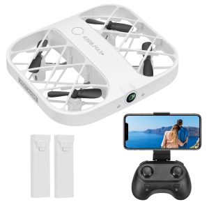
1. Selecting the Right Drone: Choosing a drone that suits the requirements of the survey is essential. Factors such as flight time, camera capabilities, and durability should be considered. It is crucial to select a reliable drone from a reputable manufacturer to ensure seamless operation during surveys.
2. Flight Planning and Permissions: Before conducting a geological survey, it is important to plan the flight path of the drone carefully. Ensuring compliance with regulations is vital to avoid legal issues and interference with other airspace users. Geologists should obtain the necessary permits from local authorities and make note of any restricted airspace in the survey area.
3. Battery Management: Battery life is a critical factor to think during a geological survey. To maximize productivity, it is advisable to carry spare batteries and monitor their levels regularly. Understanding the limitations of the drone’s battery life and planning flights accordingly can prevent interruptions and data loss during surveys.
Consumer drones have democratized geological surveys by making them more accessible, worth every penny, and efficient. These remarkable devices have revolutionized data collection methods, enabling geologists to study the Earth’s features in unprecedented detail. With advancements in technology, we can expect consumer drones to keep pushing the boundaries of geological exploration.