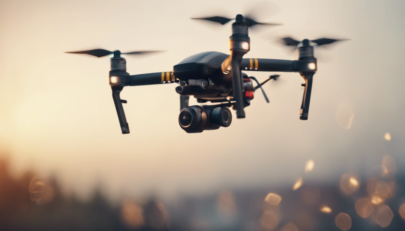
The use of consumer drones, also known as unmanned aerial vehicles (UAVs), has become increasingly popular in various fields, and coastal conservation is no exception. These versatile and technologically advanced devices have revolutionized the way researchers, conservationists, and environmentalists approach the monitoring and preservation of our precious coastal ecosystems. In this article, we will delve into the role of drones in coastal conservation and explore some practical tips and insights for utilizing UAVs effectively.
1. Aerial Surveys
Consumer drones equipped with high-resolution cameras are invaluable tools for conducting aerial surveys of coastal areas. These surveys provide researchers with an unprecedented overview of the ecosystem, allowing them to identify changes in vegetation, detect erosion patterns, and monitor the health of wildlife populations. The ability to capture detailed imagery from multiple angles and altitudes enables a more comprehensive understanding of coastal dynamics.
2. Coastal Mapping
Using advanced mapping technology, drones can generate detailed and accurate visual representations of coastal regions. By employing techniques like photogrammetry, where overlapping images are stitched together to create 3D models, coastal conservationists can obtain precise measurements of coastline changes, sand dune migration, and habitat distribution. These detailed maps aid in making informed decisions regarding conservation efforts and can serve as a baseline for future assessments.
3. Marine Wildlife Monitoring
Drones equipped with thermal imaging cameras and hydrophones offer a unique advantage in coastal wildlife monitoring. Through aerial surveillance, they can track the movement and behavior of marine species, such as dolphins, whales, and seals. This non-invasive approach allows researchers to study elusive or endangered species without disrupting their natural habitats. The collected data can contribute to ongoing studies on migration patterns, breeding behaviors, and population dynamics.
4. Pollution Detection
Coastal pollution, including oil spills and plastic debris, poses an imminent threat to marine ecosystems. Drones equipped with specialized sensors can detect and monitor such pollution sources. These sensors can identify the presence of harmful substances, collect water samples, and transmit real-time data to researchers. By pinpointing pollution hotspots, conservationists can take timely actions to mitigate its impact and safeguard coastal ecosystems.
5. Illegal Activities Surveillance
Unfortunately, coastal areas are not immune to illegal activities such as poaching, illegal fishing, and habitat destruction. UAVs provide an efficient means of detecting and deterring these activities. With high-resolution cameras and real-time monitoring capabilities, drones can survey vast coastal regions, quickly identify suspicious behavior, and alert authorities. This surveillance plays an important role in protecting endangered species and habitats from human interference.
Practical Tips for UAV Usage in Coastal Conservation
To maximize the potential of consumer drones in coastal conservation, it’s essential to keep the following tips in mind:
- Familiarize Yourself with Regulations: Ensure compliance with local and national drone regulations. Obtain necessary permits if required, and maintain safe operating practices.
- Choose the Right Equipment: Select a drone with suitable camera capabilities, flight endurance, and stability features to meet your specific conservation objectives.
- Plan Your Flights Carefully: Identify the areas of interest, plan flight paths that cover the entire region efficiently, and ponder factors like wind speed, tides, and weather conditions.
- Training and Skill Development: Invest time in mastering drone piloting skills through training programs or simulator software. This will improve safety, maneuverability, and data acquisition during flights.
- Data Management: Develop a systematic approach to manage the large volumes of data generated by aerial surveys and mapping. Use appropriate software and databases for efficient storage, analysis, and sharing.
- Collaboration: Foster collaboration with experts in coastal conservation, marine biology, and remote sensing. Pooling knowledge and resources will enhance the efficacy of UAV usage in ecological research and conservation efforts.
Consumer drones have emerged as essential tools in coastal conservation, with their ability to provide aerial surveys, mapping, wildlife monitoring, pollution detection, and surveillance of illegal activities. By following practical tips and continually exploring innovative applications, UAVs can significantly contribute to the preservation and sustainable management of our precious coastal ecosystems.
