Overview of drone sensor technology
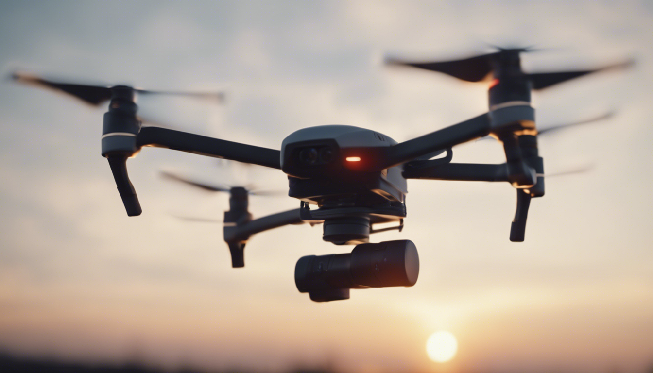
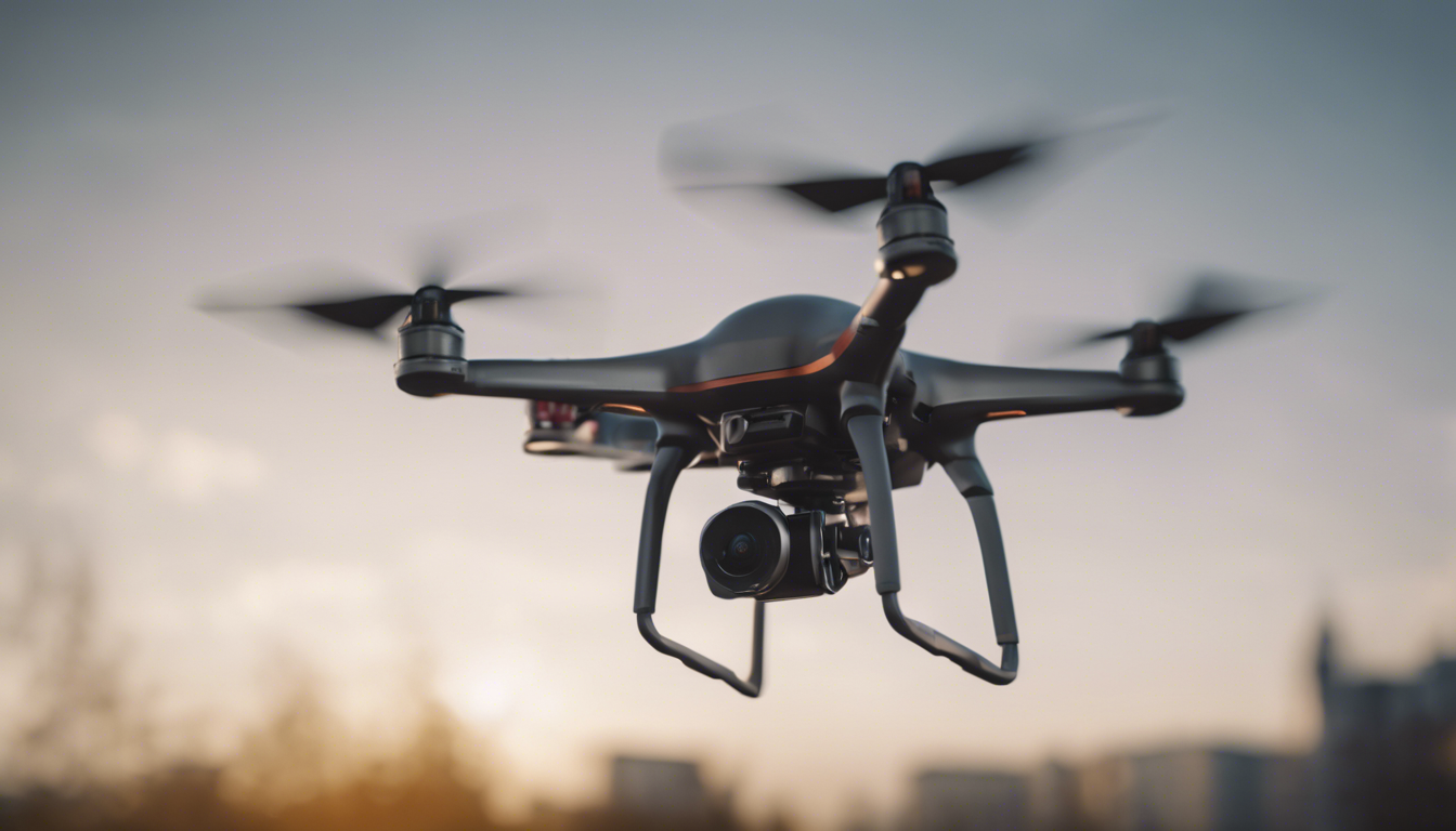
Imagine a world where tiny electronic eyes and ears can guide themselves through the sky, picking up information this is invisible or out of reach to us mortals on the ground. Well, welcome to the magical realm of drones and their sensors, which are basically the superpowers these flying marvels possess.
Most drones come outfitted with a standard GPS and a camera, but when you dunk into the rabbit hole of drone sensor tech, you realize it’s a dizzying array of gadgetry. We’ve got sensors that range from the humble accelerometers, which keep the drone steady and upright, to the more sophisticated gizmos like gyroscopes, magnetometers, and barometers; all working in a high-stakes relay race to maintain balance, direction, and altitude.
Now, clutch your seats, because the sensor squad also includes high-fidelity gyro-stabilized camera mounts, giving filmmakers and photographers the ability to capture buttery smooth cinematic shots. Snap! And just like that, aerial photography isn’t just for the birds anymore. But wait, this is not all. We also have ultrasonic sensors that help this drone whisper to itself about how close it is to the ground—talk about having a silent conversation!
And in case you are wondering if these sensors have a sixth sense, well, sort of! There’s obstacle detection technology, which basically gives drones spidey-senses to avoid bumping into things. Think of it like playing a high-stakes game of Marco Polo, but the drones are way better at not getting “it”.
Every time you see a drone floating up there, remember—it’s not just lazily flapping wings. It’s actually conducting a symphony of data-gathering activities, all thanks to an impressive lineup of sensors. That’s a ballet of technology where every spin, twirl, and pirouette is precisely calculated. So next time you spot one, tip your hat, because that flying gadget is smarter than it looks.
Photogrammetry and multispectral sensors
Let’s dive into the world of photogrammetry and multispectral sensors, where drones become not just flying cameras, but intelligent gatherers of data that paint a picture of the world in more colors than the human eye can see! Imagine drones, these agile sky-dwellers, being equipped with the magical prowess to create 3D maps and analyze crops’ health from hundreds of feet in the air! Sit tight, because that is where the high-tech party starts.
Photogrammetry, my friends, is a fancy term for measuring distances through photography. Drones equipped with photogrammetry sensors are like flying rulers that capture millions of data points by snapping a flurry of overlapping photographs. These images are then meticulously stitched together through software, transforming them into detailed topographic maps or jaw-dropping 3D models of landscapes, buildings, and even historical monuments. It’s a game-changer for folks in construction, archaeology, and real estate. They get to measure and marvel without setting foot on a ladder!
But photogrammetry is just a piece of the puzzle. Enter multispectral sensors, the unsung heroes that farmers absolutely adore. Why? Because these nifty tools can look beyond the veil of what’s visible to us and peek into different spectrums of light. We’re talking about capturing data in bands like near-infrared or red-edge. These bands are like different flavors of light that plants use in photosynthesis, which can tell you a whole lot about their health and vigor. It is like the plants are sending secret messages, and multispectral sensors are the only ones invited to the party!
When drones buzz over acres of farmland with multispectral sensors, they collect data that spell out the stories of moisture levels, disease, pest stress, and nutrient deficiencies. This especially important for precision agriculture, where every drop of water, every ounce of fertilizer is meticulously planned and executed. With this technology, farmers become ace detectives, spotting troubled crops and swooping in to save the day before it’s too late. Talk about farming with a futuristic twist!
What’s even more fascinating is how photogrammetry and multispectral data can be combined. Imagine a marriage between the structural detail of 3D mapping and the layers of unseen spectral information—a powerful union that helps urban planners decide where to plant green spaces or enables environmentalists to track deforestation or the health of coastal waters. This duo is like the dynamic team of a superhero movie, each enhancing the other’s strengths!
Okay, don’t let your head spin just yet, because there’s more. These sensors, while whipping around above us, also have on-the-fly brains called onboard processing units. They make sense of all that data right in the moment, so drones can now be the judges of a good shot—not just the takers of them. It means less time fiddling with images back at the lab and more time acting on the juicy insights our drone pals provide.
And just when you think you’ve heard it all, remember that that’s just the tip of the iceberg. We’re zooming into an era where drones will be smarter, more responsive, and more intuitive in capturing and interpreting the world’s data. So whether it’s conserving resources or crafting cityscapes, these sensors are reshaping how we see and interact with the world from the skies above.

Thermal and infrared sensors in drone applications
Now let’s heat things up a bit and swoop into the world of thermal and infrared sensors. These are the kinds of tools that make drones feel like they’ve got X-ray vision, well, for heat at least! Imagine a sensor that can pick out the warmth of a tiny mouse scurrying across a field at night. This is the magic of thermal and infrared sensors – they’re like heat-seeking ninjas for drones.
When you look at the world through the lens of a thermal sensor, you’re seeing a landscape painted with different temperatures. Warm objects stand out against cooler backgrounds, and this contrast can be incredibly telling. Firefighters, for example, send drones equipped with these hotshot sensors into the smoke to find the heart of a fire or to locate people trapped in the chaos. It’s like playing hot-and-cold, but with lives on the line.
But it’s not all about dire emergencies. Conservationists use these sensors to count wildlife or find nests of endangered birds. They can track animals in the pitch-black of night without disturbing them, collecting crucial data without so much as rustling a leaf. And when it comes to utilities, operators deploy drones to scan solar farms or miles of power lines, pinpointing hotspots that signal equipment failures or energy inefficiency. Because, you see, when things get too hot, thermal sensors are the first to whistle.
Thermal sensors also play a cool role in agriculture. Farmers are turning to these heat-sensing eyes in the sky to monitor water usage and irrigation. Crops that are well-watered and healthy radiate heat differently than thirsty, struggling plants. A quick drone fly-by can give a farmer the lowdown on which parts of the field need a drink, leading to smart, precise irrigation. It’s like giving plants a thermal health check-up from above.
And here’s an unexpected twist: archaeologists are getting in on the action, too. They’re using thermal sensors to peer beneath the soil and spot ancient ruins. When the sun sets and the ground cools down, ancient stone walls and structures buried underground retain heat longer than the surrounding soil. This temperature difference can be enough for eagle-eyed drones to spot the ghosts of civilizations past, uncovering secrets without moving a single shovel of dirt.
Let’s not say goodbye to the buzz in security and surveillance. Thermal and infrared-equipped drones work around the clock, providing a blanket of surveillance that doesn’t sleep when the sun goes down. They can be the eyes in the sky during rescue missions, border surveillance, and when ensuring perimeter security for sensitive sites. They’re the steadfast sentinels that watch over us with their thermal gaze.
In the world of thermal and infrared sensors, it is all about seeing the unseen. These sensors empower drones to reveal a hidden ballet of heat that dances around us all. They are not just passively recording what they see, but actively deciphering the thermal story of the environment below. Infrared technology takes drones from mere observers to insightful interpreters of the world, working under the veil of darkness or light.
So the next time you are cozying up with a warm drink, ponder the invisible dance of heat all around you. And somewhere up above, there might just be a drone watching, its sensors quietly capturing the thermal tales of our world.
LiDAR sensors and their role in terrain mapping
Feel like stepping into the future with a gadget that can map the ground in 3D as swiftly as you can say “beam me up, Scotty”? Well, hold onto your hats, because LiDAR sensors on drones are making this sci-fi fantasy a backyard reality. These sensors are your not-so-average laser wizards that can see through vegetation and give us the low-down on the land’s layout, even if it is covered by a lush green blanket. Yep, drones with LiDAR are playing peekaboo with the earth’s surface and they’re mighty good at it.
So, what’s LiDAR and how does it work? Imagine a drone zipping through the sky, shooting out tiny laser beams faster than a disco at full swing. These lasers bounce back after hitting the ground, and by measuring how long it takes for each photon to return, the LiDAR system creates a detailed map of the terrain below. We’re talking about an accuracy that can spot a bump in the road or the gentle slope of a hill with pinpoint precision. It is no wonder surveyors and engineers are doing their happy dance.
When it comes to terrain mapping, LiDAR-equipped drones are like mountain goats: they can get to rugged or remote areas with ease. No need for heavy equipment or hiking boots—these savvy fliers can traverse canyons, cliffs, and crags with the grace of a gazelle. And while they’re at it, they collect oodles of data that you’d need an army of workers and months to gather the old-fashioned way.
And here’s a nugget of info that’ll knock your socks off: LiDAR isn’t just about mapping what’s on top of the ground. Archaeologists are using this nifty tech to find ruins hidden beneath dense vegetation. That’s right, long-lost cities and forgotten temples are no match for the penetrating gaze of a LiDAR drone. It is like having X-ray vision that uncovers secrets of past civilizations without disturbing a single blade of grass.
Now, consider disaster management. When calamity strikes, LiDAR drones can be the heroes, swooping in to scan the damage from floods, landslides, or earthquakes. With their help, rescue teams can dive into the action with a solid game plan because they’ve got 3D maps that show where the trouble spots are. It’s like having a crystal ball that reveals paths through the chaos.
Also, let’s talk about those deep pockets of shadow in the forest that satellites can’t peer into. LiDAR drones boldly go where no satellite has gone before, cutting through the leafy canopy to measure the forest floor. Conservationists and forestry managers get to count trees, check the health of the forest, and even measure the biomass—important stuff for keeping our green lungs happy and healthy.
And, just for kicks, imagine a world where self-driving cars are the norm. These cars will need super-accurate maps to navigate our streets like a boss. That is where LiDAR drones could step in, zipping around cities and byways, crafting the kind of high-resolution maps that autonomous vehicles will gobble up to get from point A to point B without a hitch.
Bottom line? LiDAR sensors are turning drones into agile, airborne cartographers that chart our world with a finesse we’ve never seen before. Every flight is like a brushstroke on a canvas, painting a picture this is got depth, detail, and a whole lot of wow. So the next time you are out and about, and you hear the buzz of a drone overhead, remember—it might just be crafting a masterpiece of the land below.
Integration of sensors for enhanced drone capabilities
Now, strap in as we explore the wizardry that happens when multiple sensors work together on a single drone—this is where the real magic unfolds in the skies. Imagine a symphony, where different instruments come together to create a harmony so rich that it can move you to tears. This is what it’s like when drones integrate various sensors, amplifying their individual capabilities into something far greater. It’s the difference between a solo performance and a full-blown orchestral experience.
Consider of a drone this is decked out not just with an eye in the sky, but with an entire multi-sensory suite—a grand ensemble of photogrammetry, multispectral, thermal, and LiDAR sensors. Each one is already a powerhouse in its own right, but when they join forces, they unlock a treasure chest of possibilities, creating a comprehensive picture of the world below that is as rich and detailed as a high-definition movie.
For instance, take precision farming to a whole new level. A drone equipped with both multispectral and thermal sensors can provide a farmer with everything they need to know—be it the crop health, areas that require more irrigation, or the presence of pests and fungal infections. It is like having a super-farmer flying overhead, looking after each and every leaf with the utmost care.
In search and rescue missions, integrating thermal imaging with high-resolution cameras can be a game-changer. While the thermal sensors detect the heat signatures of lost individuals, the high-resolution cameras can provide a clear visual confirmation, making sure that the rescue teams know exactly what they’re heading towards. Imagine the hope and relief when this tag team of sensors leads rescuers to a missing person, just in the nick of time.
And if you’re looking for the science fiction-turned-reality aspect of drones, ponder a drone with both LiDAR and advanced obstacle avoidance sensors. Such drones can navigate the trickiest terrains with the elegance of a ballet dancer, scanning the ground while dodging branches and boulders. They can venture into hazardous areas, be it the aftermath of a natural disaster or an industrial accident site, mapping and assessing everything with minimal risk to human life.
Now, it’s not just about slapping all these sensors onto a drone and calling it a day. The real enchantment lies in how the data from various sensors are integrated, interpreted, and employed. Advanced machine learning algorithms and AI come into play here, fusing the data into coherent models that reveal insights invisible to the naked eye. It is like having a brainy sidekick this is always one step ahead, piecing together the sensor data puzzle faster than you can blink.
Last but not least, the future shines bright for these high-flying maestros as sensor fusion on drones is only scratching the surface. Imagine drones acting as mobile weather stations or as trackers for environmental changes on a global scale. The prospects are as endless as the sky itself. Each flight could be contributing to a more detailed and dynamic understanding of our planet, helping us sail smoothly into the horizons of tomorrow.
So next time you see a drone buzzing through the sky, don’t just think of it as a flying camera or a mapping device. Imagine the concert of sensors at work, painting a multi-dimensional canvas that tells stories richer than we’ve ever experienced before. Because with every beat of their propellers, these sensor-rich drones are not just flying—they’re crafting the future.
