Understanding Automated Flight Path Algorithms
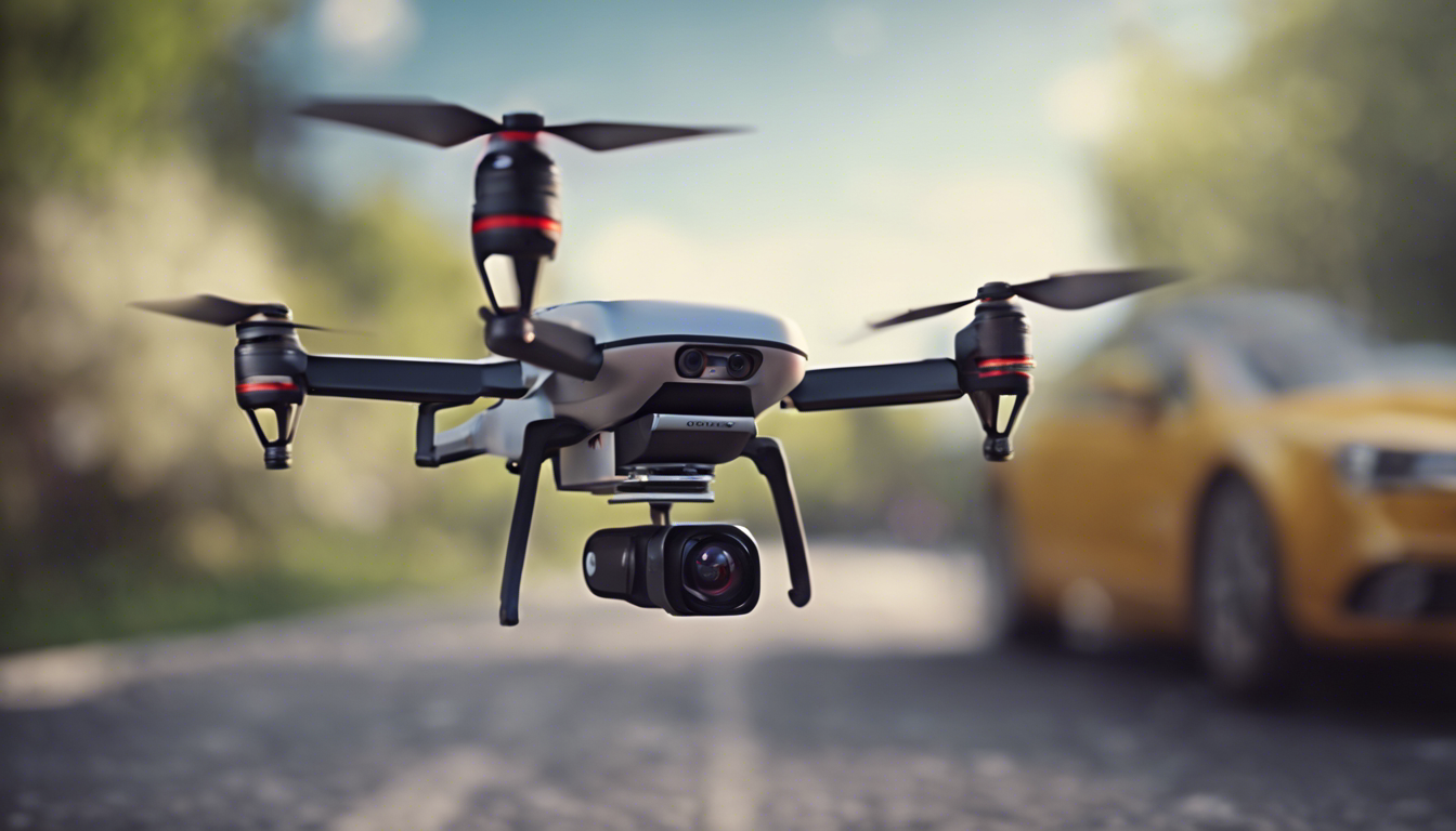
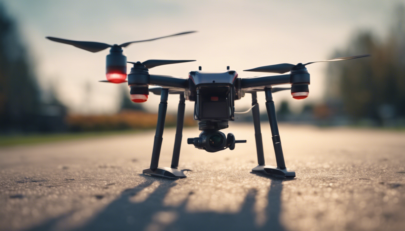
Imagine setting your drone on a mission and watching it cleverly navigate the skies, making split-second decisions and charting the most efficient course. Sounds like a sci-fi flick, right? Well, welcome to the world of automated flight path algorithms, an ingenious piece of tech magic that’s changing the game for drone enthusiasts and professionals alike.
But how does this sorcery work? Let’s dive in! At the heart of it all, an automated flight path algorithm is basically your drone’s brain on an adrenaline rush. It absorbs a torrent of data, crunching numbers, considering variables, and spewing out the smartest flight path possible.
These algorithms take into account various elements like the drone’s start and end points, speed, and battery life. Imagine trying to solve a Rubik’s Cube while riding a roller coaster—that’s how complex this stuff is. Yet, these algorithms make it look like child’s play.
One nifty trick up their sleeve is the ability to break down the journey into waypoints. Consider of these as invisible stepping stones in the sky that the drone hops on from takeoff to touchdown. The clever bit is how these waypoints don’t just lead this drone on a merry path, but also ensure it avoids no-fly zones, complies with regulations and stays clear of unexpected aerial adversaries, like that flock of seagulls trying to photobomb your perfect drone shot.
And get this – drones can even make choices in real-time. Say there’s a sudden wind gust or a pop-up parade that wasn’t on the morning’s traffic report. Voilà! This drone can alter its flight path quicker than you can say “autopilot.” It’s like it’s been endowed with an instinct for self-preservation, only with less drama and more mathematical precision.
Let’s get a tad geeky for a second. These algorithms often use a method known as “path planning” where they figure out the shortest route from A to B. GPS helps with location accuracy, while onboard sensors dish out live info about the environment. It’s like this drone is tapping into its inner Jedi to “use the Force” and navigate all the obstacles in its path.
What’s the real secret spice here? It is the mathematical models and computational power that turn abstract numbers into a flawless ballet in the skies. We’re talking about complex algorithms such as A* for pathfinding, Dijkstra’s for good old shortest paths, and probabilistic roadmaps for those wild, unstructured spaces.
Now, I know all this might sound like it’s only within reach of the pros. But this is the beauty of it—these once cutting-edge technologies are now seeping into consumer drones more and more. So, whether you’re plotting a grand aerial photography project or simply wanting to take your flying experience to the next level, tapping into automated flight path algorithms is becoming as easy as a tap on your smartphone screen.
Just remember, with great power comes great responsibility. So as we entrust our flying machines with the freedom to make their own decisions, continuing to stay up-to-date on safety guidelines and regulations is key to ensure a harmonious sky for all. And who knows? Maybe the next time you are out flying your drone, you’ll marvel a little more at the technological symphony that is taking place right above your head!
Integration of Real-Time Weather Data for Optimal Routing
It is time to talk weather, folks – because it turns out, a sunny disposition might not be enough to ensure your drone has a smooth trip. That is where the integration of real-time weather data steps in, like a seasoned meteorologist giving your drone the green light or a gentle nudge to wait it out.
Imagine your drone is prepped and ready to soar, but what it doesn’t see is the thunderstorm brewing over the horizon, or that sneaky gust of wind this is waiting to challenge your otherwise impeccable piloting skills. That’s where real-time weather data comes in clutch, providing your flying buddy with a heads-up on conditions that could turn an aerial ballet into a rodeo.
Here’s the thing – incorporating weather data into flight planning isn’t just about avoiding a little turbulence. It’s about big-brain moves, like conserving battery life by capitalizing on favorable winds or altering altitude to slip into that serene layer of air where the drone can cruise like it’s on a highway in the sky.
And for the drone videographers out there, we get it, golden hour is, well, golden. But what if those ideal lighting conditions also mean battling the elements? The answer isn’t to bench your drone but to let real-time weather data guide it to the perfect window of opportunity. Those breathtaking shots you’re after? Much more doable when you can anticipate the capricious whims of Mother Nature.
So, how is this meteorological wizardry achieved? It’s a blend of sensors, satellite feeds, and local weather stations working in concert. The tech is so advanced that your drone might know about the incoming fog rolling in before it even catches your eye.
But it’s not just about the high-tech forecasts and lightning alerts. It’s about making wise choices in the blink of an LED light. If the weather data indicates potential headwinds, this drone can automatically tweak its flight pattern, dipping and dodging through the air, finding the path of least resistance like an eagle riding thermals.
Fun fact for the day: some drones are now capable of not just avoiding bad weather but also gathering data on it! Picture tiny unmanned scientists taking measurements that help improve weather models. How cool is that?
Don’t ponder that is something only the drone big leagues can pull off, though. Even your run-of-the-mill consumer drone is starting to look more like a futuristic storm chaser, equipped to make smart routing decisions on the fly—pun intended—with weather data at its wingtips.
So next time you are gearing up for takeoff, remember that the sky isn’t just a playground—it’s a dynamic stage. With real-time weather data in your corner, you’re setting the stage for not only a safer flight but also for capturing those awe-inspring aerial shots, all while your drone hums a tune of efficiency in the face of nature’s unpredictability.

Terrain Analysis and Obstacle Avoidance Strategies
If drone flying were a video game, terrain analysis would be the level where you navigate through a labyrinth of obstacles, each one ready to test your reflexes—or in this case, the smarts of your drone. But before your drone can dodge a tree or skirt around a building, it needs a solid strategy to analyze its environment.
Enter the world of high-fidelity sensors and cameras that are the eyes of your trusty flying machine. They scan the Earth’s surface, creating a rich tapestry of data points. This data is then stitched together to form a 3D map—a virtual representation of the world that is rich in detail. It’s kind of like giving your drone a pair of superhero glasses that can see everything in its path, including that sneaky flagpole you might’ve missed while planning your flight.
Consider this tech is all about dodging static obstacles? Think again. It’s also about adapting to the moving maze of the world below. Picture this: you’re capturing that epic skyline shot when a construction crane suddenly extends into your drone’s path. No sweat! The terrain analysis system can help it swerve in time, all while keeping the camera steady for that money shot.
“Navigating complex environments requires more than just avoiding collisions; it requires elegant, ballet-like choreography in the air.”
But wait—there’s more. These drones aren’t just equipped with fancy hardware; they’re also loaded with sophisticated algorithms that make split-second decisions. It brings to mind those movies where the hero is sprinting through an explosion, dodging debris with unnerving precision. Except, in this story, the hero is your drone, and the explosion is the chaotic landscape below.
Some drones take it a step further by communicating with each other to avoid mid-air meetups. Imagine a special ops team, each member aware of the others’ positions, executing a coordinated maneuver with no room for error. That is the kind of synergy we’re talking about here.
- Yup, these drones are making decisions on the fly, literally. If the lay of the land changes or an unforeseen obstacle pops up, they’ve got to tweak their flight path quicker than you can say, “Look out!”
- Every flight is a lesson learned. As drones navigate varied terrains, they gather data to make even smarter choices in the future. It’s as if each drone has a scrapbook of all its flights, constantly revisiting it to be better prepared for next time.
Don’t fret about keeping your drone away from the great outdoors. With today’s tech, your drone is capable of taking a leisurely flight in the woods, soaring high above rolling hills, or slipping between urban canyons—all while you stand back and admire its autonomy. It is not just about getting from point A to point B anymore; it’s about doing it with the grace of a world-class gymnast navigating a complex routine.
Whether you are mapping out a mining site or capturing the perfect nature shot, remember that your drone is more than just a tool—it’s a nimble navigator charting its course through an unseen obstacle course, ensuring that each flight is as smooth as the video footage it captures.
Energy-Efficient Trajectory Design for Extended Missions
Shifting gears to long-haul missions, your drone’s ability to stay airborne for the maximum amount of time especially important. This challenge has given rise to energy-efficient trajectory design, which, simply put, is the fine art of course plotting that sips on battery life, rather than gulping it down.
Here’s a little-known fact that highlights the ingenuity in flight planning: drones can use the earth’s topography to their advantage. By riding along slopes and using the natural lift generated by landscapes, like a glider using updrafts, a drone can drastically reduce its energy consumption. This is akin to a cyclist picking routes with the wind at their back – it’s all about working smarter, not harder.
But the real MVP in this game is what we call ‘energy-aware’ path planning. Imagine your drone weighing options like a seasoned chess player; it’s constantly thinking several moves ahead, strategizing the most energy-efficient maneuvers. Does it ascend rapidly to save time, knowing time is energy, or does it take a gentle climb to conserve battery? These are the kind of decisions that can extend a drone’s mission from a short sprint to a marathon.
“Optimizing drone flight for energy efficiency isn’t just about staying airborne longer; it is about expanding the horizons of what’s possible on a single charge.”
There’s also the little-known role of adaptive power management. Not all flight phases chew through energy at the same rate. So, some of the more advanced drones dynamically adjust their power usage based on the real-time demands of the flight phase they’re in. It is like having a hybrid car that knows when to use electric versus gas power as it zips through the city.
And let’s not forget the power of the hover. It is not always about the journey but sometimes about staying put. By calculating the optimal times and locations to hover, drones minimize unnecessary travel and thus, conserve energy. It is the equivalent of finding a good parking spot at a busy shopping center; it makes the whole outing more efficient.
- Using thermals and natural topography for energy-efficient travel
- Energy-aware path planning to maximize flight duration
- Adaptive power management tailored to different flight phases
- Hovering strategically to avoid wasted maneuvers
What’s perhaps most astonishing is how this seemingly niche knowledge is starting to trickle down to the consumer drone market. The same strategies that allow research drones to traverse vast fields and forests are becoming available to the hobbyist seeking to capture that perfect sunset without the worry of a low battery light blinking halfway through the journey.
In essence, the world of energy-efficient trajectory design is about squeezing every last drop out of that lithium-ion pack. It’s these advanced flight planning techniques that not only empower drones to push the boundaries of exploration but also leave eco-footprints that are as light as the very hover they master so well.
Advanced Communication Systems for Multi-Drone Coordination
Picture this for a second: a fleet of drones, each buzzing through the skies, carrying out complex missions in perfect harmony. No, it is not the latest box office hit; it’s the reality of advanced communication systems at work in multi-drone coordination. These systems are what allow drones to operate as a team, creating aerial orchestrations that a solo drone couldn’t achieve on its own.
Ponder about a group of friends heading to a concert. Without texting each other, they might end up on opposite sides of the venue. For drones, it’s kind of the same deal. They need a reliable way to ‘talk’ to each other, to share locations, statuses, and even adjust their roles on the fly.
So how do they do it? It’s all about cutting-edge communication tech that turns a bunch of solo acts into a symphony. These savvy drones utilize various communication protocols – consider of them like different languages, each suited for particular scenarios. Wi-Fi might work for a small indoor concert, while LTE or even satellite communications suit a big outdoor festival.
- Wi-Fi, LTE, and beyond
- Real-time data sharing for synchronized operations
- Dynamic role allocation among drones for efficient task handling
And it’s not just about staying in sync. Drones can actually assign roles to each other on the fly. Maybe one drone realizes it’s low on battery; it can pass off its task to another without missing a beat. It’s like a relay race where the baton is smoothly handed off, ensuring the mission continues flawlessly.
Navigating critical missions requires not just strength in numbers, but exceptional communication strategies, empowering drones to work as a unit rather than lone rangers.
Want to hear something even more mind-blowing? Thanks to swarm intelligence, a bunch of drones can make decisions as a collective, much like a flock of birds adjusting to changes in their environment. This means they can dynamically alter their flight formation, react to unforeseen situations, and complete tasks with a level of precision and teamwork that would make a SEAL team tip their hats.
But let’s address the elephant—or should I say, the drones—in the room. What about interference and security? That is where sophisticated encryption and anti-jamming technologies come into play, ensuring that drone-to-drone chatter is as private and uninterrupted as a confession booth.
In a world where time is of the essence, real-time communication is the golden ticket. These drones don’t just send smoke signals and hope for the best; they transmit data in milliseconds, making real-time adjustments and decisions that can mean the difference between mission success and a “Houston, we have a problem” moment.
Finally, all this wondrous connectivity isn’t reserved for military-grade hardware. Nowadays, even consumer drones are starting to get in on the action. Got a couple of drones and want to film a coordinated dance routine from multiple angles? There’s probably an app—or soon will be—that’ll sync them up and get them moving like a ballet troupe.
So, the next time you see a flock of drones executing a flawless search and rescue operation, mapping out a field in record time, or putting on a jaw-dropping light show, just remember: it’s the power of top-notch communication systems that is making all this possible. It’s transforming the way drones work, both individually and as part of a team, taking us one step closer to a future where the sky’s the limit for these high-flying helpers.
