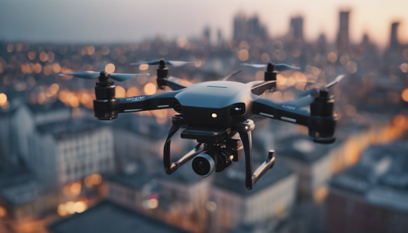
Overview of Drone Technology in Emergency Response
When disaster strikes, time is of the essence. This is where drone technology swoops in to save the day, quite literally. Drones, also known as Unmanned Aerial Vehicles (UAVs), have revolutionized the way emergency response teams operate. These high-flying helpers are being increasingly deployed to provide real-time data, assess damage, and assist in search and rescue missions where every second counts.
With their ability to fly into areas that might be inaccessible or hazardous to humans, drones provide a unique vantage point. They can zoom over floodwaters, weave through rubble after an earthquake, or hover over a raging wildfire – all while beaming back crucial information to responders on the ground. It is like having a bird’s-eye view of the situation, minus the risk.
But it is not just the ability to spy from the sky that makes drones invaluable in emergencies. These nifty gadgets can also carry small payloads. Picture this: a drone delivering a life-saving EpiPen to a hiker having an allergic reaction, or dropping off a first aid kit to an injured person in a hard-to-reach location. Yes, drones are turning into mini-heroes of the emergency response world.
And when it comes to communicating with those affected by disasters, drones can be game-changers. In regions where the infrastructure has been decimated, leaving residents without cell service or internet, drones can serve as flying Wi-Fi hotspots. This restores communication lines, allowing survivors to contact their loved ones or call for help.
By incorporating high-resolution cameras, thermal imaging, and LIDAR technology, drones paint an accurate picture of the aftermath of a catastrophe. Data collected by UAVs helps in mapping affected areas, identifying hazards like gas leaks or unstable structures, and planning effective responses.
It is clear that drones have taken emergency response to new heights. From providing critical situational awareness to becoming digital lifelines, these versatile machines are redefining what it means to be prepared for the unexpected.
Applications of Drones in Natural Disaster Management
When natural disasters strike, one of the biggest challenges emergency response teams face is gauging the extent of the damage to implement an effective disaster management plan. Drones have emerged as a vital tool in this process, offering a range of applications that can significantly aid in mitigating the aftermath of natural calamities.
One such application is in the early detection and monitoring of natural disasters like forest fires or floods. Drones equipped with heat sensors can detect hotspots that may indicate an impending fire, allowing responders to jump into action before the situation spirals out of control. Similarly, drones can be used to monitor water levels in rivers and dams during storms or heavy rainfall periods to help predict and prepare for flooding.
Mapping is another critical application of drones in natural disaster management. By flying over affected areas, drones can quickly create detailed maps that provide crucial insights into the impact of the disaster. This information is essential for planning evacuation routes, locating stranded survivors, and determining where to allocate resources.
In search and rescue operations, drones can be a lifeline for victims trapped in debris or hard-to-reach places. Equipped with high-resolution cameras and thermal imaging, drones can spot heat signatures of people, helping rescue teams narrow down their search areas and act quickly to extract individuals who may be in dire situations.
Delivery of essential goods is yet another application where drones excel in the wake of natural disasters. With roads turned into rubble, infrastructure wiped out, and traditional transportation rendered useless, drones become crucial in delivering medicine, food, and other critical supplies to survivors.
Drones also play a significant role in assessing the structural safety of buildings following disasters. By capturing images from above, drones provide engineers with the information they need to identify buildings at risk of collapse, ensuring that no one enters a dangerous area and avoiding potential secondary incidents.
Finally, drones contribute substantially to ecological assessment post-disaster. UAVs can survey affected ecosystems, track wildlife displacement, and even seed areas to aid in reforestation efforts.
The versatile capabilities of drones make them an irreplaceable asset in natural disaster management. From prediction and preparedness to response and recovery, drones are reshaping the way emergency responses are conducted, making them faster, safer, and more efficient.
Case Studies: Successful Drone Deployments in Emergencies
In 2017, when Hurricane Harvey hit Texas, drones were instrumental in aiding the rescue efforts. The Federal Aviation Administration (FAA) issued a temporary flight restriction over much of the affected area, but drone operators obtained special waivers to fly in the restricted airspace. Over the course of the response effort, drones completed more than 100 missions, providing valuable aerial photographs that helped responders assess the damage and plan their operations.
Another example of successful drone deployment took place in Nepal after the devastating earthquake in 2015. Drones were used to survey the damage and create detailed 3D maps of the affected areas. This allowed rescue teams to identify safe paths through the rubble and debris, speeding up the search for survivors and the delivery of aid.
In California, drones have become an essential tool for fighting wildfires. During the Camp Fire in 2018, which became California’s deadliest wildfire, drones equipped with thermal imaging cameras were used to map the fire’s spread and identify hot spots that firefighters could target. This not only made their efforts more effective but also helped keep them safe by providing up-to-date information on the rapidly changing conditions on the ground.
One last case study involves the use of drones during the aftermath of the Tornado Super Outbreak in 2011. Following a series of destructive tornadoes that swept across the Southern United States, drones were deployed to assess infrastructure damage, especially to power lines and gas utilities. This rapid assessment allowed utility companies to restore services quickly and efficiently, reducing the downtime for thousands of affected residents.
These real-world examples demonstrate the significant impact that drones have in emergency situations, offering a combination of speed, flexibility, and safety that’s unmatched by traditional means of disaster response. Whether it is assessing damage, aiding search and rescue efforts, or delivering essential supplies, drones have proved time and again that they are an indispensable tool when disaster strikes.
Future Developments and Trends in Drone Use for Emergency Management
As the world becomes increasingly technologically advanced, the future of drones in emergency management looks brighter than ever. Innovation is driving the development of drones with longer battery life, greater payload capacity, and more sophisticated sensors. These advancements promise to further solidify the role of drones as indispensable tools in emergency response scenarios.
One trend on the horizon is the integration of artificial intelligence with drone technology. This will enable drones to autonomously navigate disaster zones, making real-time decisions without the need for human intervention. Drones could independently search for survivors, identify hazards, and even begin immediate disaster relief operations, all while learning and adapting to their environment.
Another exciting development is the potential for drone swarms. Imagine a fleet of drones working together, coordinated in their efforts to cover large areas more quickly and efficiently than a single drone ever could. This kind of collaboration could transform the speed and scale at which emergency responses are conducted.
With continued innovations, we could see drones not only responding to emergencies but also anticipating them. Predictive analytics might enable drones to identify risk areas and monitor them for early warning signs of natural disasters, allowing preventative measures to be put in place.
Beyond their current capabilities, drones may also start to feature more prominently in post-disaster recovery efforts. They could assist in rebuilding efforts by transporting materials to remote or inaccessible areas, helping to restore infrastructure at an accelerated pace.
There’s also a push for improving communication systems within drones. Enhanced connectivity would mean that emergency response teams can stay in touch with multiple drones at the same time, receiving a wealth of data from different sources quickly and reliably. This level of communication is essential for coordinating large-scale emergency operations effectively.
With all these developments in mind, it is clear that drones will not only become more commonplace in emergency management but also more critical. As technology continues to evolve, so too will the capabilities and impact of drones, making them a focal point in our quest to manage disasters more effectively.
The sky’s the limit for the future of drones in emergency management, and we’re just beginning to scratch the surface of their potential.
