Drones and Their Role in Aerial Reconnaissance
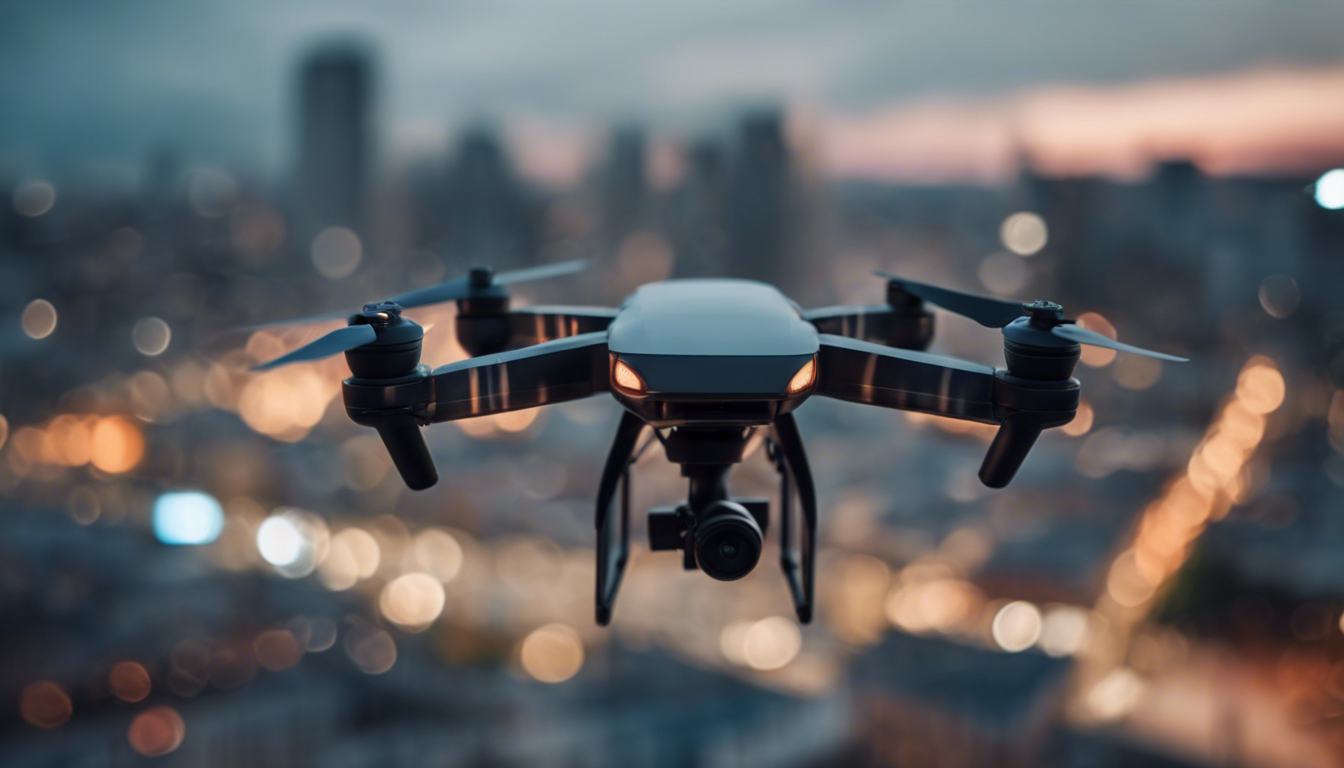
Drones, also known as unmanned aerial vehicles (UAVs), have gained immense popularity in recent years. Originally developed for military use, drones have now become accessible to consumers, providing an exciting new way to capture stunning aerial footage and gather important data. In this article, we will explore consumer drones and their role in aerial reconnaissance, delving into various aspects and details that make them an indispensable tool.
Advancements in Technology
Consumer drones have come a long way since their inception. With advancements in technology, these unmanned vehicles now boast high-resolution cameras, intelligent flight modes, and extended battery life. These features allow enthusiasts, hobbyists, and professionals to explore the skies, capturing breathtaking images and videos from above.
Applications in Aerial Reconnaissance
One of the key applications of consumer drones is aerial reconnaissance. Whether it is surveying large areas of land, inspecting infrastructure, or monitoring wildlife, drones provide a cost-effective and efficient solution. These small aircraft can reach areas that are difficult or dangerous for humans to access, making them invaluable tools for various industries.
Surveying and Mapping
Consumer drones equipped with high-resolution cameras enable accurate surveying and mapping of terrain. By autonomously capturing images at predefined intervals, drones create detailed maps that assist in urban planning, cartography, and environmental monitoring. The ability to quickly gather aerial data saves time and resources while providing more accurate information compared to traditional methods.
Infrastructure Inspection
Inspecting bridges, power lines, or other infrastructure often involves risky manual labor. However, using drones for inspections significantly reduces risks and costs. Equipped with specialized cameras, drones can closely examine structures, capturing high-resolution imagery that highlights potential issues. This detailed visual data allows professionals to identify problems and plan necessary maintenance or repairs promptly.
Wildlife Monitoring
In conservation efforts, drones have proven to be invaluable tools. Traditional wildlife monitoring methods often disrupt natural habitats or place researchers in dangerous situations. Drones equipped with thermal imaging cameras and GPS tracking provide a non-invasive way to monitor wildlife. Researchers can observe behavior, track migration patterns, and identify endangered species without causing disturbance.
Tips for Aerial Reconnaissance
If you’re considering using a consumer drone for aerial reconnaissance, here are some practical tips to keep in mind:
– Familiarize yourself with local regulations and obtain any necessary permits before flying your drone. Respect airspace restrictions and privacy laws.
– Ensure you have a thorough pre-flight checklist, including checking the drone’s battery level, calibrating the compass, and inspecting the propellers for any damage.
– Plan your flight path carefully, considering weather conditions and any potential obstacles in the area.
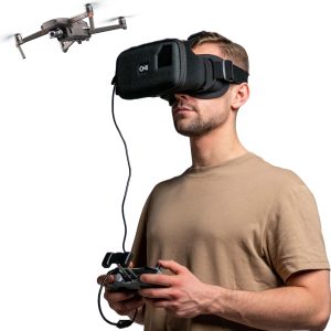
– Use intelligent flight modes available on most consumer drones, such as waypoint navigation or follow-me mode, to assist in capturing accurate data.
– Post-processing of captured images and videos can enhance the quality of your reconnaissance data. Use software applications suitable for stitching images or analyzing infrared footage, depending on your requirements.
– Regularly update your drone’s firmware to ensure optimal performance and take advantage of new features or bug fixes released by manufacturers.
The Future of Drone Technology
Consumer drones have transformed from recreational gadgets to powerful tools for aerial reconnaissance. As advancements in technology continue, we can expect even more capabilities and applications to emerge. From automated inspections to crop monitoring, drones will undoubtedly provide innovative solutions across various industries.
In conclusion, consumer drones play a vital role in aerial reconnaissance, revolutionizing how we gather information from above. By leveraging their advanced features and capabilities, these unmanned vehicles offer not only stunning aerial footage but also practical solutions for surveying, inspection, and wildlife monitoring. As drone technology continues to evolve, we can only anticipate the exciting possibilities they will unlock in the future.
